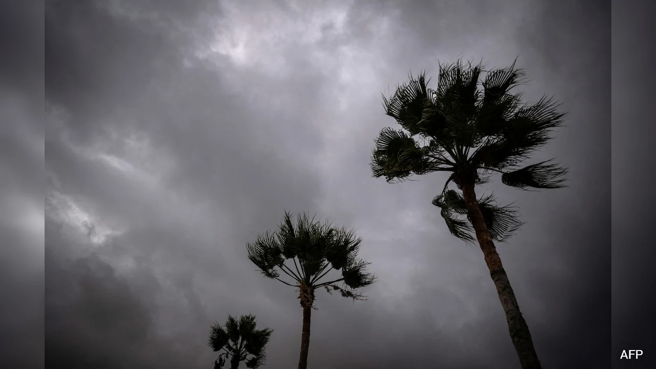
We tend to obsess over direct landfalls. When a storm stays offshore, people breathe a sigh of relief. That is a dangerous mistake.
When Hurricane Polo tracked up the Pacific coast, packing winds and heavy moisture, the headline was all about the track. Everyone wanted to know if it would cross the coast or stay out at sea. But focusing solely on the eye of the storm misses the real danger. The true hazard of a system like Polo isn't just the wind hitting a specific beach. It is the massive atmospheric river of moisture dragged over vulnerable terrain, triggering catastrophic flash floods and mudslides long before and long after the peak.
If you live in or travel through southwestern Mexico or Baja California Sur, you already know the drill. Steep mountain ranges meet the Pacific, creating a natural trap for torrential rainfall. When millions of gallons of water slam into deforested slopes or unstable hillsides, the earth gives way.
The Physics Behind the Slopes
Why do these regions turn so deadly so fast? It comes down to geography and soil saturation.
Most people picture a hurricane as a giant wind machine. Meteorologists know it is actually an engine turning ocean heat into relentless water. When storms like Polo churn off the coast, they pull warm Pacific moisture straight into the Sierra Madre del Sur and up the Baja peninsula.
Think of a dry sponge. The first few inches of rain soak right in. But once that soil hits maximum capacity, every extra drop has nowhere to go but down. Gravity takes over. Heavy mud, rock, and debris slide down mountain passes at terrifying speeds. These flows destroy roads, sweep away homes, and cut off entire communities in minutes.
It happens without warning. You might experience a relatively calm afternoon while the storm is miles offshore, only to watch a local river swell three feet in ten minutes because of a cloudburst fifty miles up in the mountains.
What Most Disaster Preps Get Wrong
Governments issue evacuation orders, and local authorities scramble to open shelters. Yet, year after year, people stay behind. They board up windows to protect against wind, forgetting that wind rarely kills as many people as water does.
Here is what you actually need to keep in mind when a Pacific cyclone threatens:
- Elevation is everything: Being five miles inland doesn't save you if you are built in a low-lying arroyo or at the base of a steep grade. Water funnels through canyons with brutal force.
- Bridges fail early: Flash floods wash out infrastructure before the storm even peaks. If you wait until it starts raining heavily to cross a bridge or leave a flood zone, you are already trapped.
- The danger lingers: The rain doesn't stop when the hurricane's wind field weakens. Remnants often interact with low-pressure systems inland, extending the flood threat for days.
Surviving the Pacific Threat Season
Mexico's western coast sits in one of the most active hurricane corridors on earth. Warm water feeds these systems rapidly, turning standard tropical depressions into major hurricanes overnight.
You cannot control the weather, but you can change how you react to it. Stop watching the tracking cone just to see if the center crosses land. Start looking at the moisture feed and the topography of where you live. If local authorities tell you to move to higher ground ahead of a system like Polo, pack your essentials immediately. Do not wait to see if the storm lives up to the hype. By the time the mud starts moving, it is already too late.
Heavy Rain Causes Mudslide, Flooding Off The Coast Of Mexico
This video provides an on-the-ground look at how rapidly heavy rainfall from a powerful Pacific system can trigger dangerous mudslides and coastal flooding in Mexico.